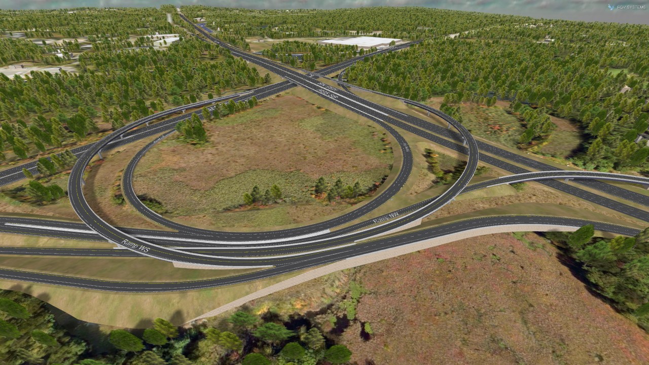
Welcome to the I-495/ I-90 Improvements Project Virtual Tour. This is a self guided 3D model, providing multiple views of the proposed project. Within each view, you may pan, tilt and zoom to any location in the view. The views are located along a bar at the bottom of the screen. There are 21 views in total. Views 1 thru 6 show high aerial overviews of the project, starting at the southern end of the project, moving to the former toll plaza, then the eastern, western and northern project areas and at I-495 over I-90. Views 7 through 11 show close up details of I-495, starting at the southern end, then at Fruit Street, South of I-90, at the MBTA railroad, and at Flanders Road. Views 12 through 15 show close up details of I-90, starting at the eastern end, at the Sudbury River, west of I-495, and the western end of the project. Views 16 and 17 show details of how the new interchange removes the loop ramps on I-90 and I-495. Views 18 through 21 detail the ramps at the toll plaza, then the outer ramps in the northeast and southeast quadrants.
Below the view scroll bar is a clickable tab allowing you to switch between existing or proposed views, and highlight a particular proposed ramp movement. In the upper right corner, there are panning and zooming tools, and a north arrow. You can also pan and zoom with your mouse directly on the view. In the lower right corner, there is an overview map showing pins where the views are located on the project, for orientation.